
On 12 October 2026, a MODIS image from NASA’s Aqua satellite showed smoke from fires on both sides of the Amazon River near Manaus. Three days later, NASA Earth Observatory published that image alongside a more important claim: satellite systems had already registered a sharp rise in fire activity and smoke emissions across the central and eastern Amazon beginning in September 2026 (Fires Arrive in the Amazon Rainforest). That is a concrete change in the public record. It turns a broad fire-season worry into a dated observation.
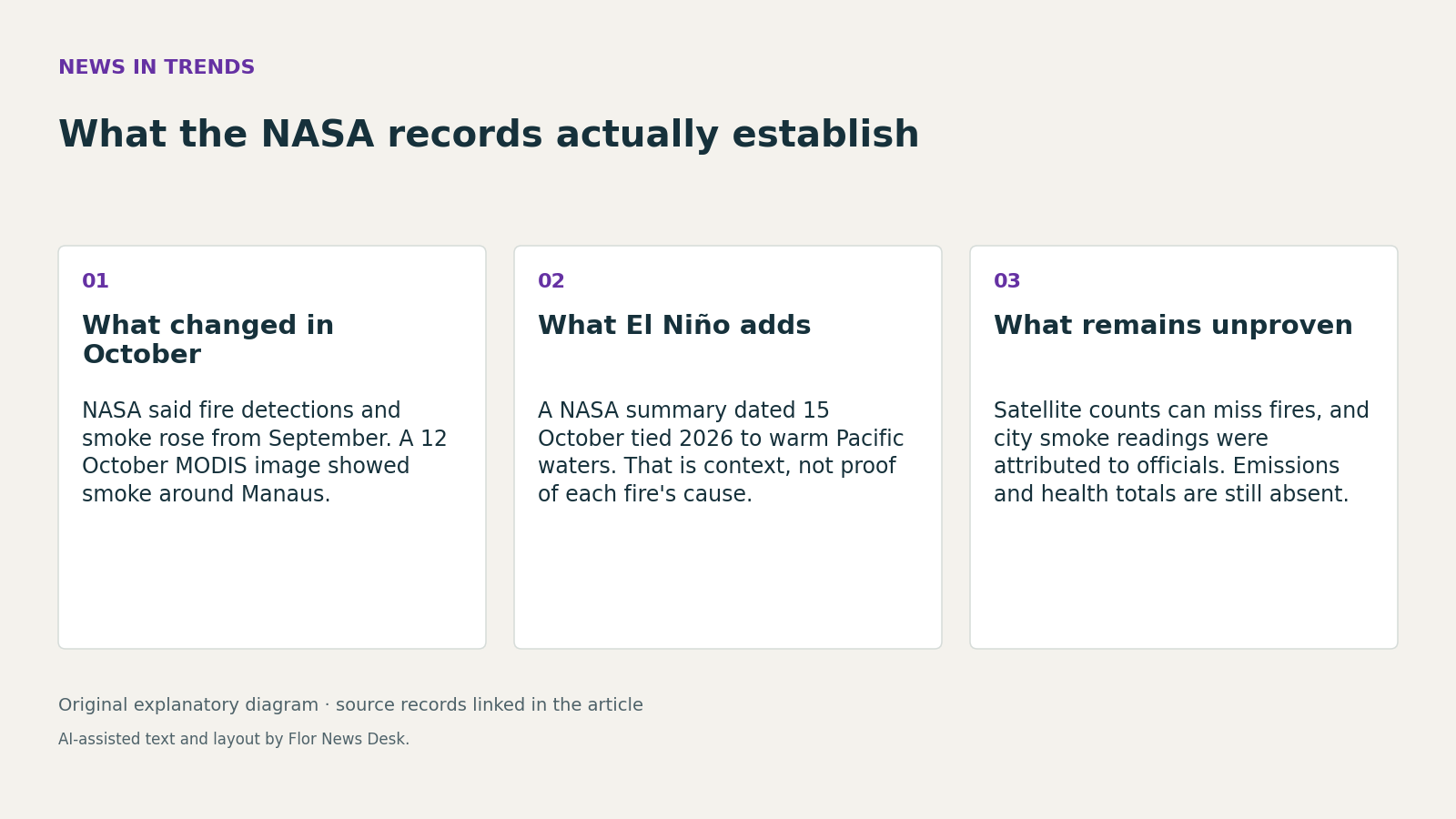
What those October materials establish, though, is narrower than some climate headlines imply. They document timing, geography and visible smoke. NASA said its account drew on FIRMS, GFED and Worldview, which means the story rests on satellite-based monitoring rather than a single dramatic image (Fires Arrive in the Amazon Rainforest). For readers, that matters: the useful conclusion is not simply that the Amazon is burning, but that the central and eastern basin showed an early-season escalation visible across multiple NASA-linked datasets by mid-October.
The El Niño backdrop helps explain why NASA treated that shift as significant. In a separate 15 October article, NASA said eastern Pacific sea-surface temperatures were about 1.7 degrees Celsius above the long-term average, and reported that NOAA, as of October 2026, had put an 83 percent chance on the strongest El Niño since 1950 being under way (NASA Satellites Observe Historic 2026 El Niño). That supports the argument that unusual Pacific conditions were intensifying at the same time the Amazon smoke signal sharpened. But it does not, by itself, prove that El Niño caused any specific set of fires.
NASA’s own August record shows why that distinction matters. Before the October fire images, Earth Observatory had already published PACE-based chlorophyll maps showing lower June 2026 chlorophyll concentrations in the central equatorial Pacific during strengthening El Niño conditions, which it interpreted as reduced phytoplankton abundance (El Niño Alters Marine Life in the Pacific). Taken together, the three pieces show a sequence of satellite-observed changes across the Pacific and South America. That is strong contextual evidence for a regional climate story. It is not the same as a fire-by-fire attribution study.
The October Amazon piece is also candid, if indirectly, about measurement limits. It said Shane Coffield’s VIIRS-based analysis found about 40 percent more fires around Santarém than appeared in FIRMS active-fire counts, and it noted that smoke, clouds and tree cover can obscure detections (Fires Arrive in the Amazon Rainforest). So even when satellite counts jump, they are still not a complete census. Readers should resist turning “more detections” into a precise total burned area, exact emissions burden or a final ranking for the season.
The local smoke impacts around Manaus require the same caution. NASA said heavy smoke affected the city on 12 October and attributed a PM2.5 reading above 135 micrograms per cubic meter to city officials; it also cited Brazil’s National Institute of Meteorology for rainfall far below normal in August and September (Fires Arrive in the Amazon Rainforest). Those details make the smoke episode more credible and more serious. Still, the cited NASA records do not supply independent hospital data, a full ground-monitoring series or basin-wide emissions totals.
So the October imagery matters because it changes the evidentiary threshold. By 15 October 2026, NASA’s public record no longer described only a strengthening El Niño in the abstract. It also showed an early, visible Amazon smoke event and a September uptick in fire activity. The right takeaway is neither dismissal nor overclaim: satellites are already showing a consequential shift, while the causes, totals and health consequences still need later ground-based confirmation and fuller emissions accounting.
Read our editorial standards or send a correction to the editorial desk.